
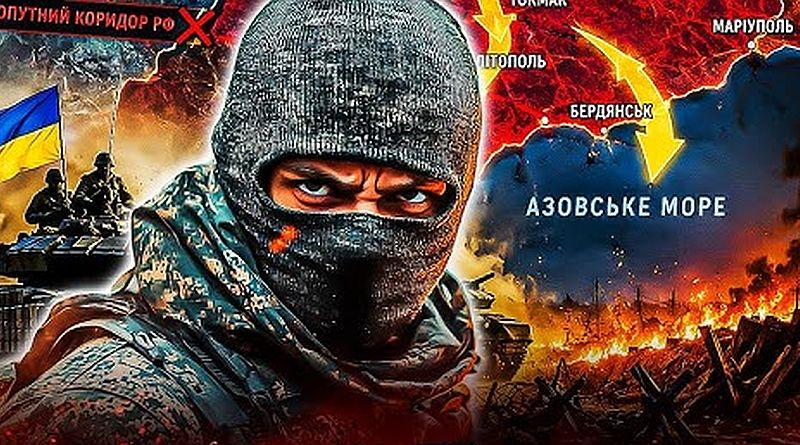
As part of the campaign to isolate Crimea and the operational zones of the enemy forces “Vostok” and “Dnepr”, the Sea of Azov has become a crucial maritime logistical corridor for Russia. However, the specific features of navigation in the Sea of Azov—shallow waters and navigational channels—have created ideal conditions for a successful Defense Forces operation.

Navigation in these waters has several important features dictated by its geographical, hydrological, and climatic characteristics. It is one of the shallowest seas in the world, significantly affecting navigation: the average depth is about 8 meters, with a maximum depth of up to 14.5 meters in the center of the sea. The seabed is flat, with depths gradually increasing from the shores. This limits the maximum draft of ships (usually no more than 4–7 meters depending on the area). Large ocean-going ships cannot pass here. In the Taganrog Bay, depths are even shallower (2–9 meters), requiring special caution and often the use of specialized ships or pilots. Continuous silt deposition from rivers (Don, Kuban) necessitates regular dredging of ports and channels. The Kerch Strait is the only outlet to the Black Sea, it is narrow—3.1–4 kilometers wide, 35–40 kilometers long, with a depth of up to 18 meters. It has strong currents, frequent storms, and limited maneuvering. The Crimean Bridge determines the height of ships.
The main Ukrainian ports have been Mariupol and Berdyansk, and for the enemy—Taganrog, Yeysk, Temryuk, Rostov-on-Don (with access through the Volga-Don Canal to Russia’s inland waterways). All are of great importance for the export of grain, coal, metal products, and petroleum products.
Overall, the Sea of Azov is an inland, shallow sea temporarily turned by the occupiers into a lake with specific capabilities for large ships, highly dependent on weather conditions and geopolitical situation. It is ideal for river-sea navigation and coastal shipping, but requires special preparation, shallow-draft vessels, and consideration of ice/storm risks.

The main feature of navigation in the Sea of Azov is the corresponding channels — a critical infrastructure element, since the natural shallow depths of the sea do not allow large vessels to approach the ports without artificial deepening. These channels are regularly opened and maintained through dredging operations. The most important is the access channel to the Mariupol Sea Trade Port. It is about 17–18 km long and has a design depth of 9–9.75 m in different parts (in particular for the Coal Harbor — about 9.15 m). It allows ships with the appropriate draft, which is important for exporting metal, coal, and grain. Similar channels exist for the Berdyansk port and other Azov harbors (Taganrog, Yeysk, etc.). Dredging should be done regularly, especially before the navigation season, as storms and river flow quickly reduce the depth.
These artificial waterways ensure navigation safety and efficiency but require significant investment and technical maintenance. In peacetime, they allowed the handling of millions of tons of cargo per year and made the Azov a key region for coastal and international transportation. The geopolitical situation and military actions, of course, have significantly impacted their operation.
Thus, these channels force vessels to move only along designated paths, clustering them together, which makes them convenient targets for attacks. The entire system is critically dependent on tugs and various types of dredgers for deepening.
This is probably how the guys at the Command of Unmanned Systems thought.
+

And on July 6, they began a large-scale operation in the Sea of Azov, named “MoLoChKa.” It is aimed at targeting the Russian shadow fleet, primarily small and medium tankers transporting fuel to occupied Crimea and other regions. SBU units (including the First Separate Center and the 413th “Raid” Regiment) are using marine and air drones for precision strikes, with the goal not necessarily to sink but to disable: damaged ships drift and block movement (remember the channels?).
In the first nine days of the operation, 159 ships were hit, 117 in the Sea of Azov and 42 in the Black Sea. Among them are mostly tankers (dozens of units, for example, the Sanar, Venera, Klimena, Thetis series, and others), bulk carriers, ferries, tugs, and special floating craft (why the last two are particularly interesting is explained above). On certain nights, the attacks were especially intense: 9–14 ships at once, a significant portion of which were tankers. This led to massive fires on board and significant disruption of Russian fuel logistics.
The operation significantly affected shipping. Russia was forced to temporarily halt movement through key fairways, including the Don-Azov Canal, which connects internal river routes to the sea. Ports in the Sea of Azov are effectively paralyzed, ships are crowded in bays, huddled at anchorages near the shore, and the export of oil and other goods through this region has sharply declined. This poses problems for the Russian economy, supplies to Crimea, and military logistics.
The Sea of Azov, due to its shallow waters and the narrowness of the Kerch Strait, is vulnerable to drone attacks—ships have little room to evade our attacks. The Russian shadow fleet remains the primary target. Satellite images capture clusters of damaged and still-intact ships standing side by side.

The operation demonstrates the effectiveness of Ukrainian drone forces in closing sea corridors without deploying a large fleet. After the intensive phase in Azov, SBS announced they are moving to actions in the Black Sea.
Overall, these strikes are among the most successful examples of asymmetric naval warfare, significantly complicating the aggressor country’s use of the Sea of Azov as a safe rear route.
